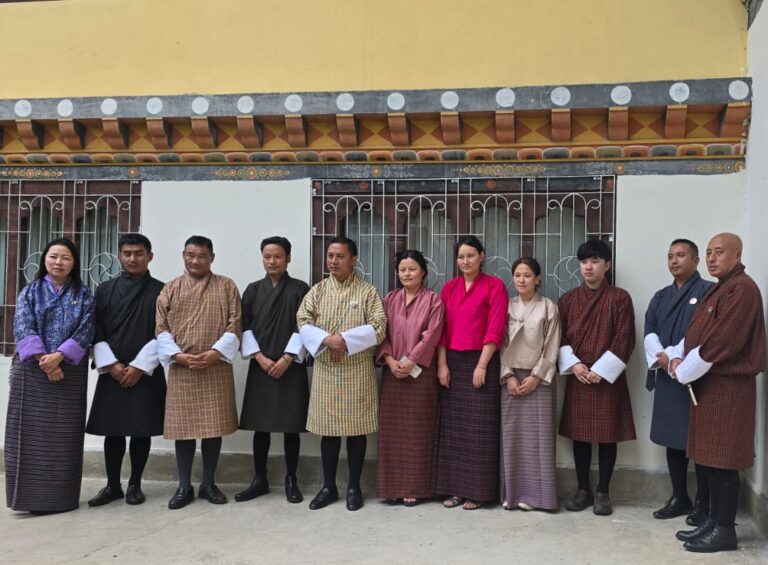

The Bhutan Ecological Society, in collaboration with the Department of Agriculture, recently hosted a highly impactful and transformative capacity building training focused on “Remote Sensing for Rice Monitoring and Agro-Ecological Zone Mapping.” The training, held at the Centre for Climate and Sustainable Futures in Paro, was made possible through the generous funding support of the Food and Agriculture Organization (FAO). Notably, esteemed resource persons from SERVIR Project contributed their invaluable expertise and guidance throughout the training, reinforcing the commitment to advancing Bhutan’s geospatial capabilities for agricultural monitoring.
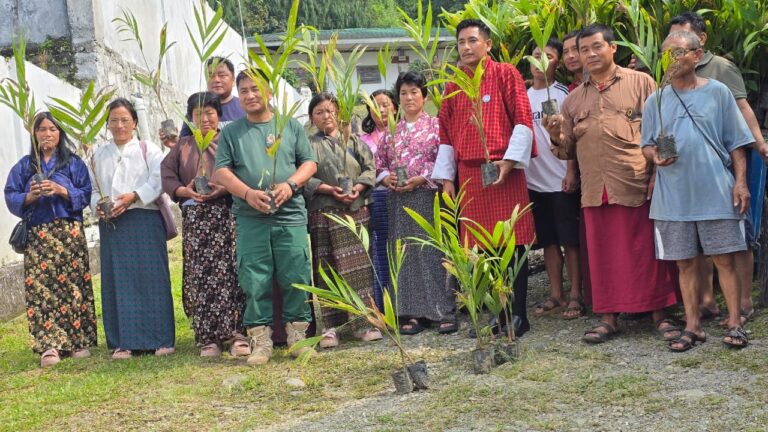
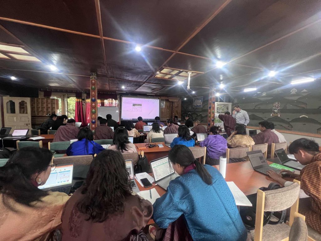
Bhutan takes a significant leap towards harnessing geospatial information systems for agricultural monitoring and farming system mapping through this training, aimed at bridging the information gap in farming systems and enhancing data-driven planning and investments in the agricultural sector. The training witnessed the participation of approximately 35 individuals representing various agencies, institutes and organizations involved in agriculture and environmental management across Bhutan. This diverse group of participants facilitated a comprehensive exchange of knowledge and perspectives, enriching the overall training experience. They received comprehensive training in earth observation, data applications, machine learning, geospatial data analysis, and rice area mapping. They learned how to use tools like Collect Earth Online (CEO), Google Earth Engine (GEE), and Agriculture Estimation and Classification Service (ACES) for data collection, remote sensing analysis, and mapping.
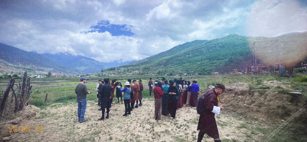
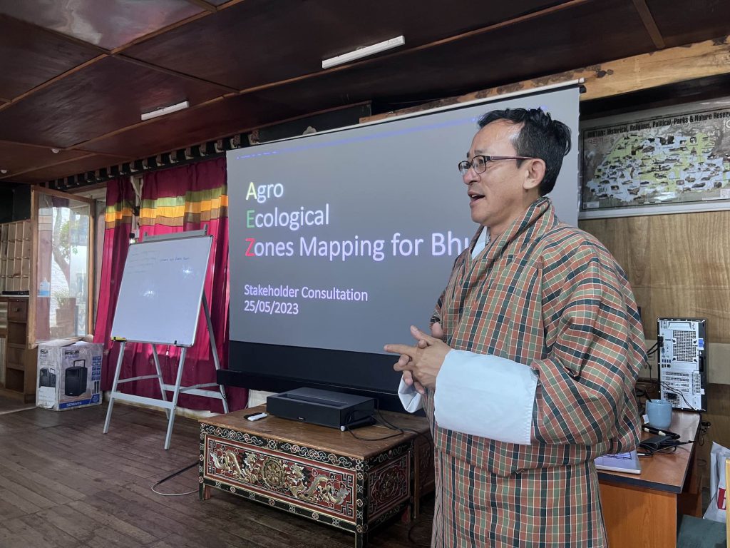
The training also emphasized the importance of Agro-Ecological Zone mapping for Bhutan. By understanding different ecological zones based on climate, soil conditions, and topography, farmers and policymakers can make informed decisions regarding crop selection, land use planning, and resource management. This training event not only enhanced participants’ geospatial capacity but also provided an opportunity for SERVIR to engage with Bhutanese stakeholders and understand their geospatial technology needs. The discussions on Agro-Ecological Zone mapping will guide future development, including enhancements to the ACES system, to support agricultural planning and decision-making processes.
The successful completion of this training represents a significant milestone in Bhutan’s journey towards using remote sensing and geospatial data for sustainable agriculture, food security, and informed decision-making. Bhutan’s commitment to leveraging technology and data-driven approaches demonstrates its dedication to preserving nature, biodiversity, and ecosystem services while promoting agricultural sector growth. The training’s focus on Agro-Ecological Zone mapping has laid the foundation for Bhutan to further optimize resource allocation and advance its understanding of the agricultural landscape, benefiting farmers and the environment.
About SERVIR:
SERVIR has been collaborating with Bhutan’s Department of Agriculture (DoA), National Plant Protection Centre (NPPC), and Ugyen Wangchuck Institute for Conservation and Environment Research (UWICER) to co-develop the geospatial application, which primarily focuses on rice area monitoring. This tool will provide invaluable support for food security and agriculture planning, offering accurate and up-to-date information to aid decision-making at all levels.